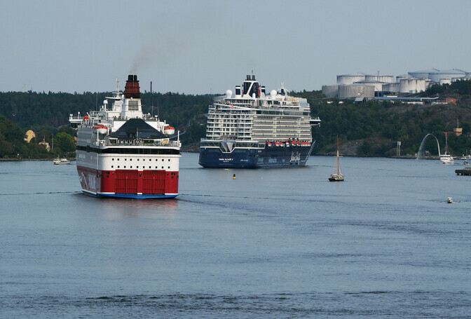
Scientists from the Baltic Sea countries have created a new water level reference surface that allows for mapping the seabed and water levels with an accuracy of a few centimeters, promoting safer navigation and simplifying the use of navigation charts between ports. #Läänemeri #veetase #navigatsioon (translated)
novaator.err.ee
Uus veetaseme lähtenivoopind aitab Läänemerel ohutumalt seilata