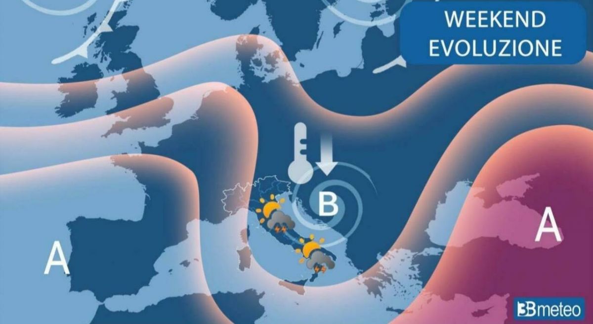
The great heat returns to hit Italy with 8 cities on red alert and an increase in temperatures, especially in the Central-Southern regions. (translated)

The great heat returns to hit Italy with 8 cities on red alert and an increase in temperatures, especially in the Central-Southern regions. (translated)

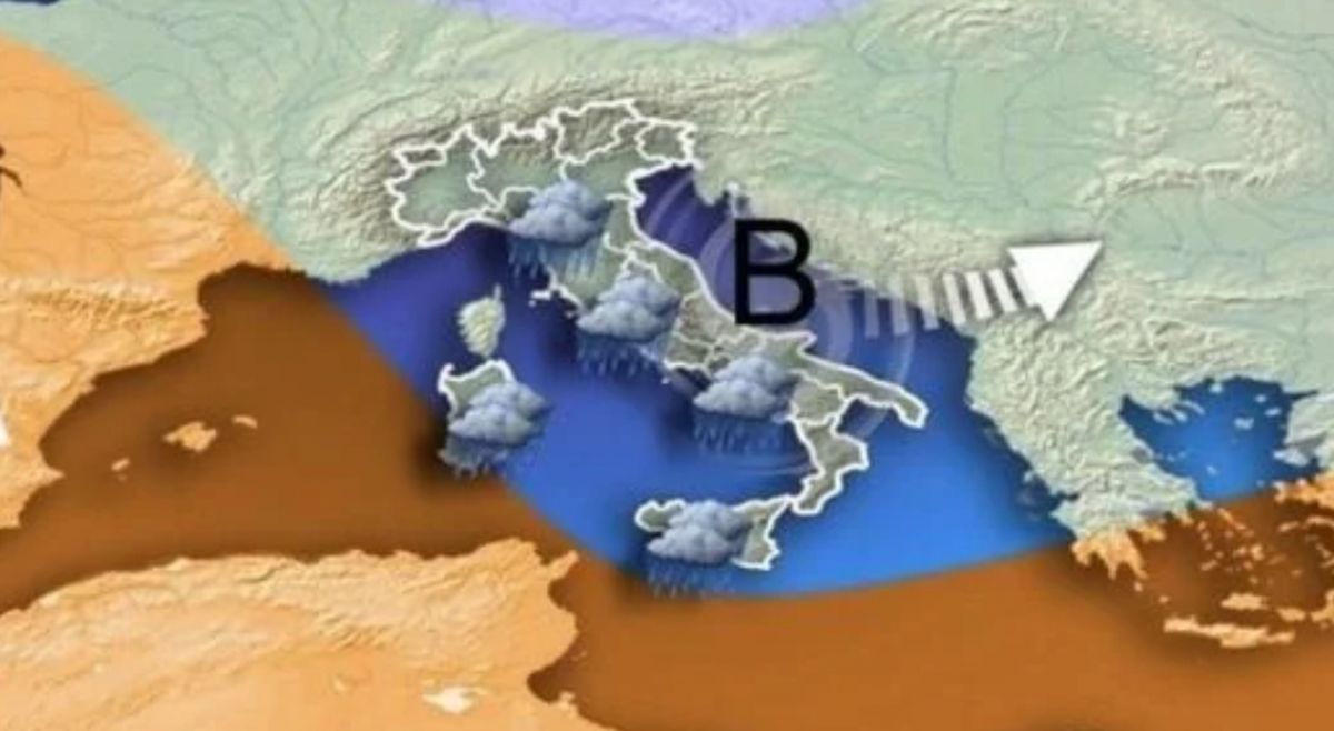
Weather forecasts announce strong storms coming to Italy, with alerts in eight regions and a contrast between the African heat wave in the South and the rainfall in the North. (translated)

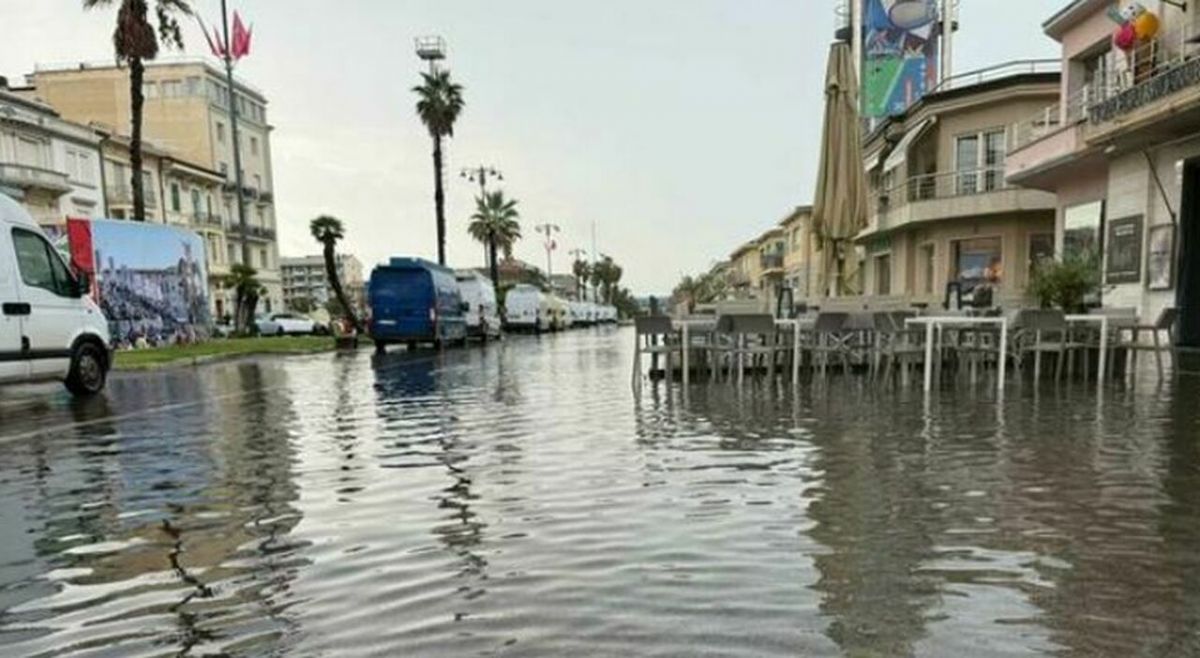
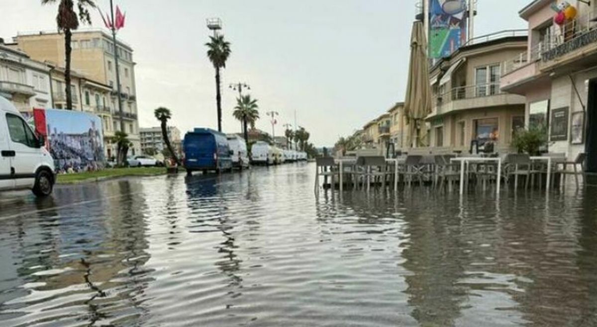
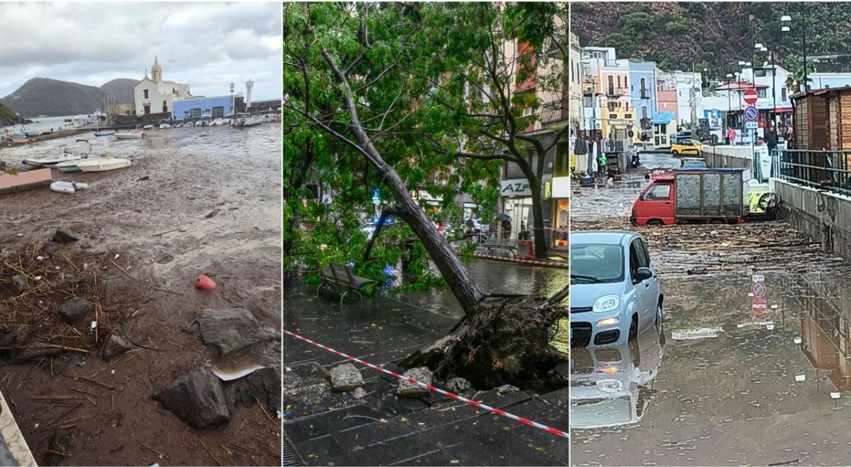
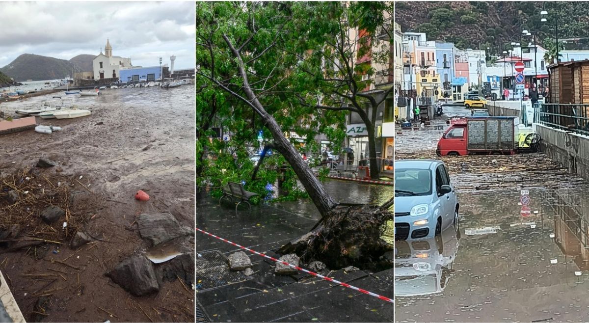
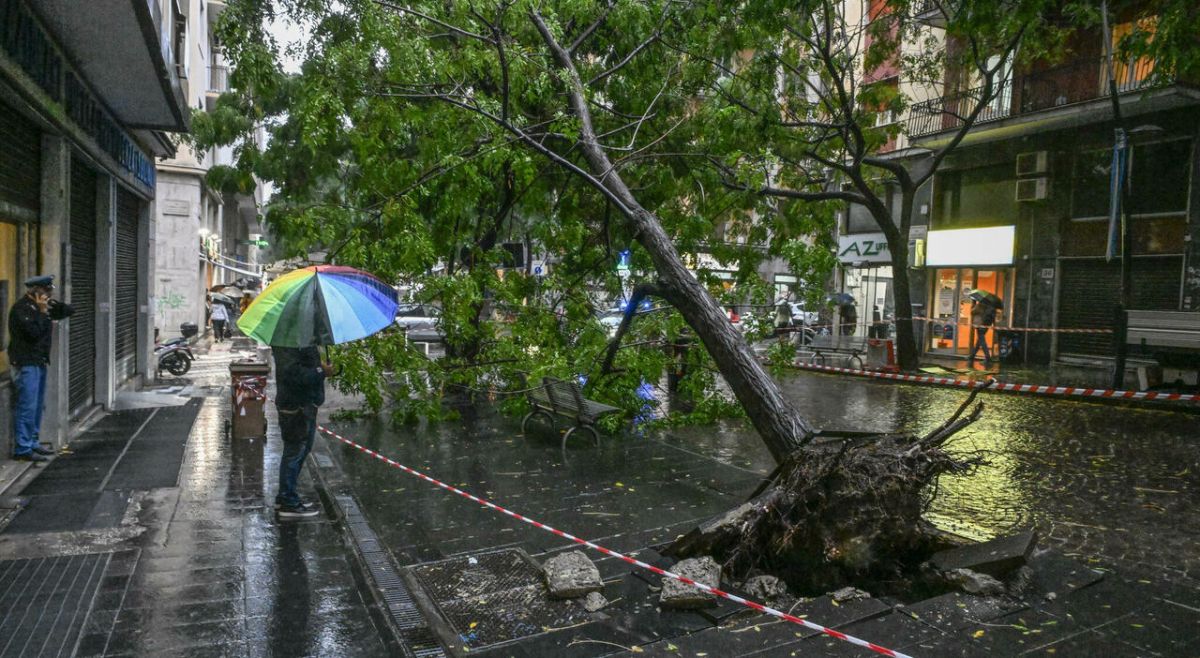
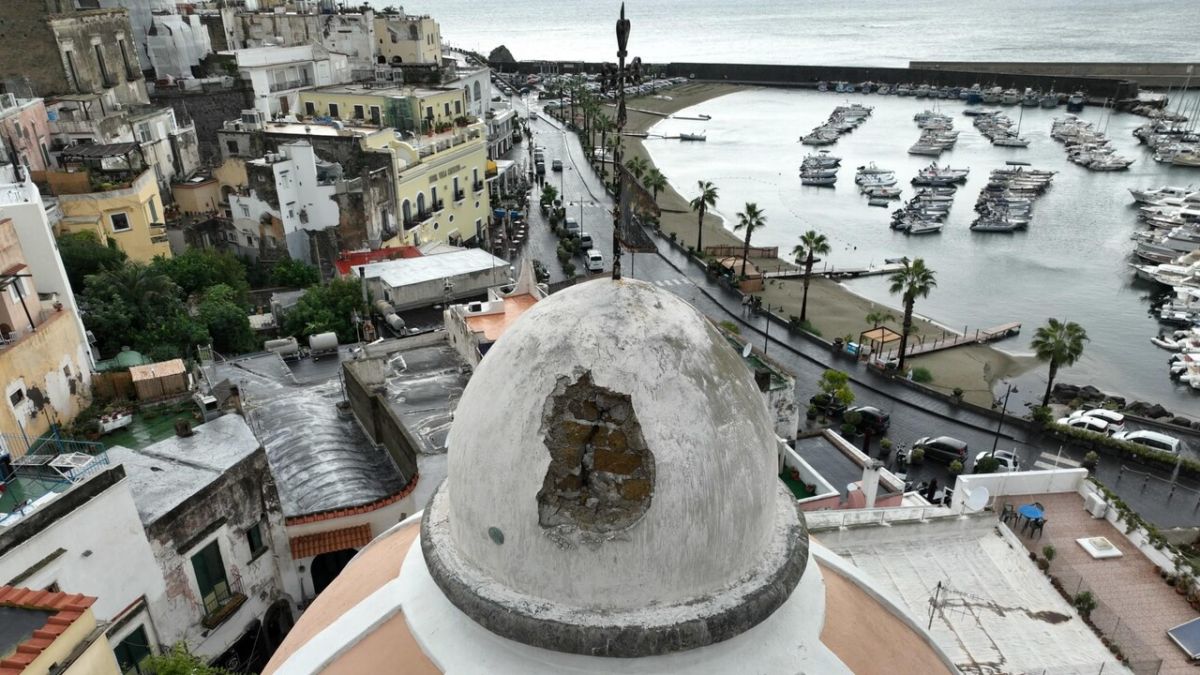
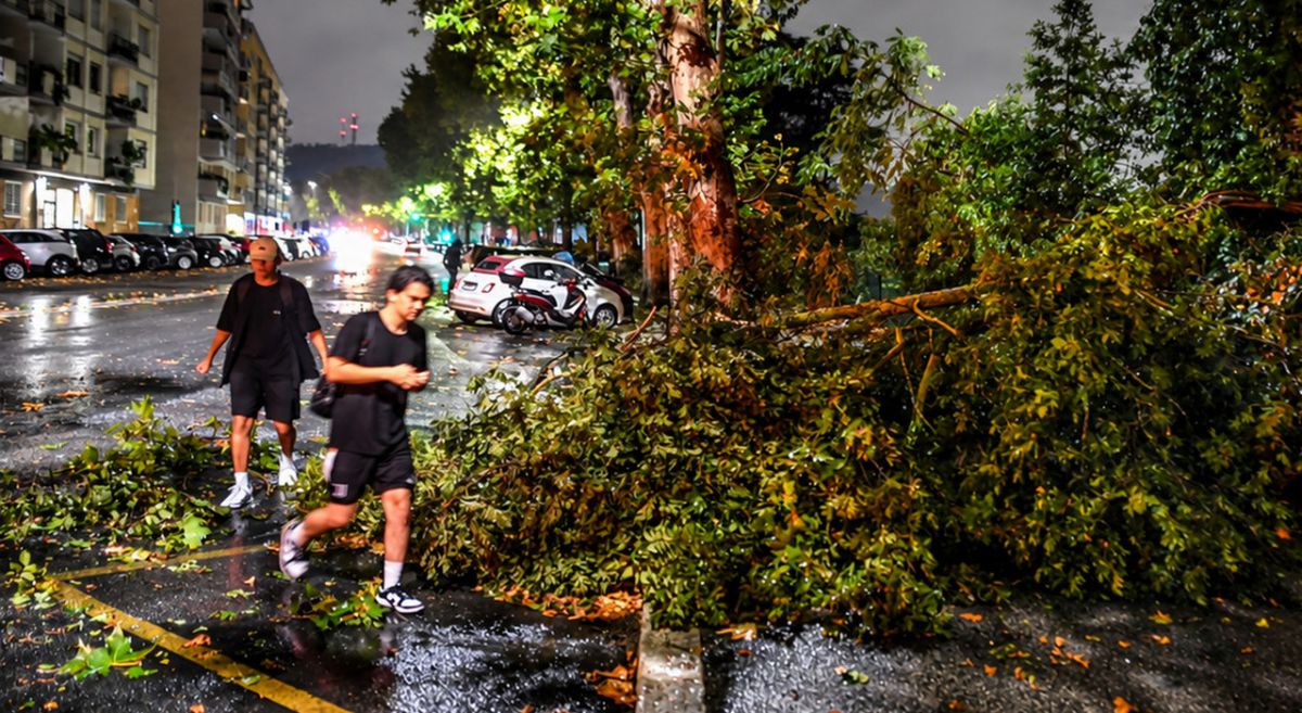
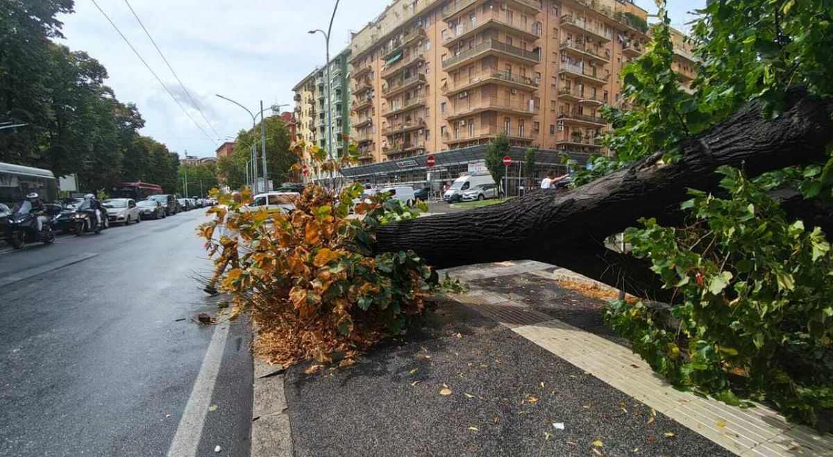
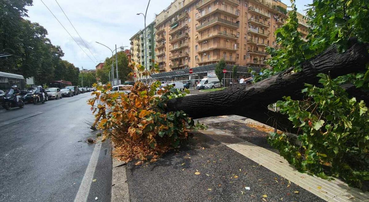
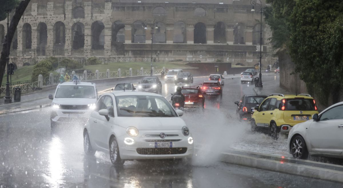
In northern Italy, heavy rain and storms caused serious damage, the closure of parts of the Aurelia road in Liguria, the evacuation of camps in Bergamo, and massive power outages in Tuscany, while four regions are facing an orange and thirteen yellow warning for adverse weather conditions. (translated)

Today, 14 Italian regions are on weather alert due to violent thunderstorms, with orange code in Tuscany and Liguria, while the South will be protected by the African anticyclone with warm and sunny weather. (translated)

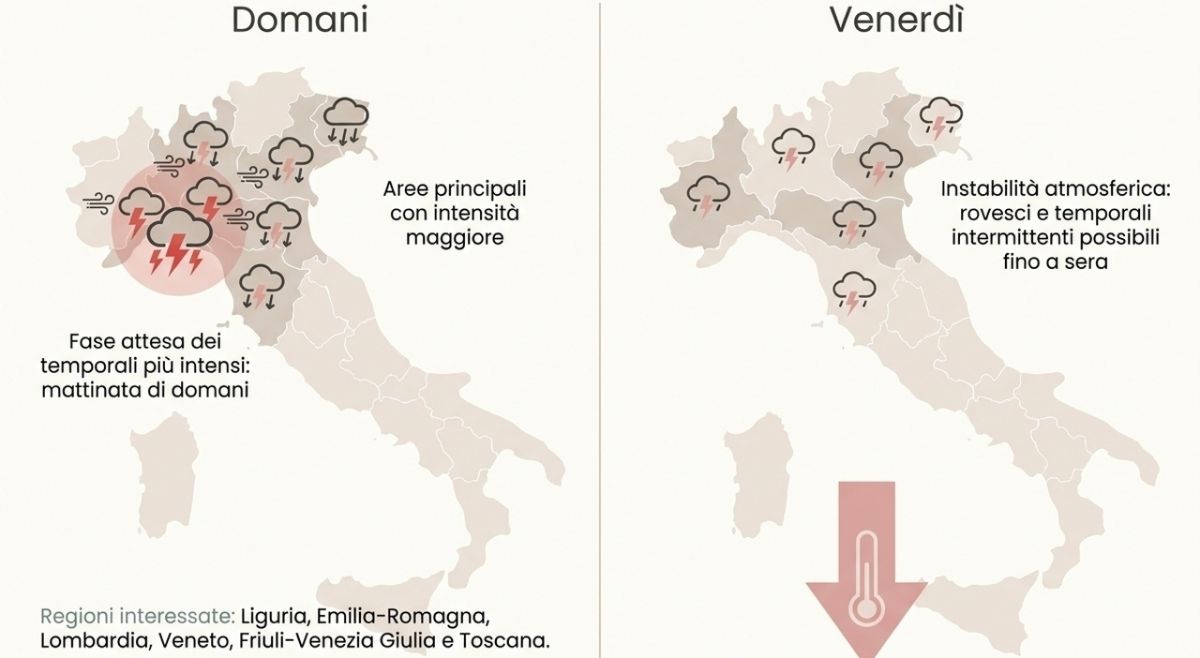
Domani ancora maltempo severo al Centro-Nord, attenzione alle zone più esposte. Venerdì 21 agosto sarà un’altra giornata molto delicata per il Centro-Nord, con piogge e temporali anche intensi su diverse regioni. Le aree più esposte saranno Liguria, Emilia-Romagna, Lombardia, Trentino-Alto Adige, Veneto, Friuli-Venezia Giulia e Toscana centro-settentrionale, dove i fenomeni potranno risultare localmente forti e persistenti. Particolare attenzione alle province di Genova, La Spezia, Massa-Carrara e Lucca, zone che in questo tipo di configurazione possono diventare molto sensibili se i temporali insistono per più ore sugli stessi settori. Potenzialmente sono da allerta arancione-rossa. Nel pomeriggio rovesci e temporali potranno interessare anche Umbria, Marche, zone interne del Lazio e Abruzzo, in modo più irregolare ma localmente incisivo. Sul fronte termico arriverà un calo più evidente al Nord e sulla Toscana, con umidità in diminuzione dopo il passaggio del fronte. Dalla serata aria meno pesante anche su Umbria e Marche, e in modo più moderato su Lazio e Sardegna settentrionale. Il Sud, invece, resterà ancora dentro una fase calda, più distante dal cuore del peggioramento. Domani sarà un'altra giornata da nowcasting. #Maltempo #AllertaMeteo #CentroNord
Tomorrow, August 21, 2026, violent thunderstorms are expected in 14 regions of Italy, with an orange alert for Tuscany and Liguria, while the South will remain protected by the African anticyclone. (translated)

The Rupinaro stream in Chiavari is at risk of flooding due to heavy rains, with the municipality activating sirens to warn the population to follow self-protection measures and evacuate at-risk areas, while there are reports of traffic jams due to flooding along the A12 motorway and an orange alert for thunderstorms has been issued until tomorrow. (translated)

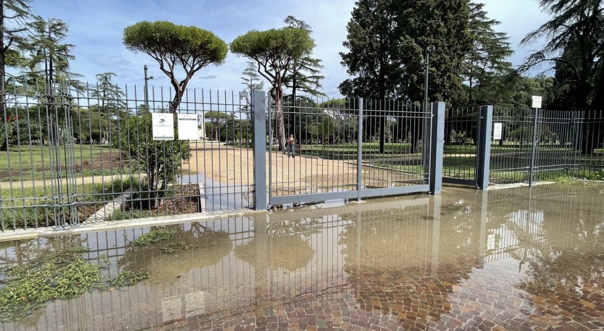
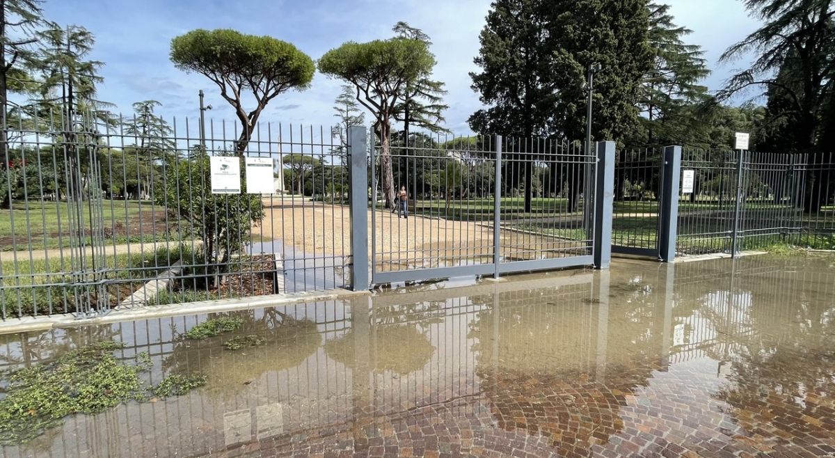
Bad weather in Liguria has caused severe disruptions, including a blackout at the Ventimiglia station and an orange alert for heavy rains and hail, which has also been extended to Turin, Milan, and Florence, where green areas have been closed and some activities suspended. (translated)

In serata attenzione al Nord-Est ed in particolare su Trentino Alto Adige, Veneto (specie zone centro-settentrionali) e Friuli Venezia Giulia. Ci saranno fenomeni potenzialmente molto intensi. Per il corso della giornata restano valide tutte le indicazioni date nel post di ieri. Domani arriva un altro impulso perturbato ancora piu' esteso e ugualmente intenso ma ve ne parlerò nel prossimo post. #Meteo #Tempo #AllertaMeteo
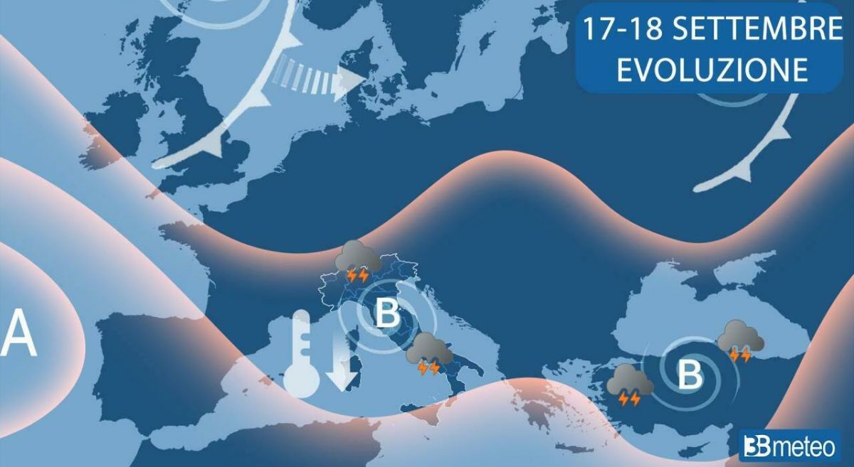
Domani il maltempo può fare sul serio. Ecco le zone da seguire con attenzione. Tra domani e sabato l’Italia inizierà a vedere un cambio di scena più concreto, almeno sulle regioni centro-settentrionali. Non parliamo di piogge deboli e ordinate, ma di un passaggio perturbato rapido, irregolare e localmente intenso, capace di portare rovesci e temporali anche forti dove i fenomeni riusciranno a organizzarsi meglio. Le prime precipitazioni arriveranno già nel corso della notte tra Valle d’Aosta e Liguria. In mattinata il peggioramento tenderà poi a coinvolgere la Lombardia, il Piemonte meridionale e le zone più occidentali dell’Emilia. Nel corso della giornata il maltempo andrà ad intensificarsi anche sul resto del Piemonte, mentre verso sera e nella notte successiva il fronte più attivo tenderà a spostarsi verso Trentino-Alto Adige, Veneto settentrionale, Friuli e Toscana settentrionale. Attenzione in particolare alle province di Genova, La Spezia, Milano, Varese, Como, Lecco, Pavia, Lodi, Bergamo, Brescia e Belluno, dove potranno verificarsi fenomeni localmente intensi. Tra la serata di giovedì e la notte su venerdì occhi puntati anche su Massa-Carrara, Lucca e Pistoia. Non sarà maltempo uniforme per tutti, ma dove i temporali colpiranno potranno farlo con forza, anche perché arriviamo da una fase lunga, calda e molto carica di energia. Dal pomeriggio-sera aumenterà la nuvolosità anche su Lazio, Umbria e Marche, ma senza precipitazioni significative nella prima fase. Le temperature caleranno al Nord, mentre al Centro-Sud tenderanno ancora ad aumentare, segno di un’Italia divisa tra aria più instabile in ingresso da nord-ovest e caldo ancora presente sulle regioni centro-meridionali. Domani servirà attenzione vera, soprattutto nelle aree dove i temporali potranno diventare intensi in poco tempo. Per questo il nowcasting sarà fondamentale e come sempre vi invito a seguire le varie allerte della protezione civile e degli enti locali. #Maltempo #MeteoItalia #AllertaMeteo
Today, a weather alert has been issued in 13 Italian regions due to incoming rain and thunderstorms, marking the end of the high temperatures caused by the subtropical anticyclone. (translated)

In Italy, a weather alert is in place for heavy thunderstorms, which will occur on Wednesday, August 12, 2026, especially in the hills and some flat areas, due to the persistence of the subtropical anticyclone that generates days of intense heat and sunshine. (translated)

Italy is facing extreme heat with temperatures peaking between 38 and 39°C, and while the subtropical anticyclone dominates the weather until Mid-August, thunderstorms are expected to bring a slight decrease in temperatures in the northern regions. (translated)

The subtropical anticyclone will continue to dominate central-southern Europe and Italy, bringing extreme heat with peaks of 38/39°C in various regions and maximum health alerts in 19 cities, while thunderstorms are expected to arrive after Ferragosto. (translated)

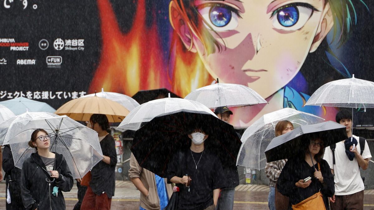
More than one million people have been evacuated in eastern China due to Typhoon Dolphin, which has caused flight cancellations and alerts for severe flooding, while a missing child has been reported and two people have been arrested for misinformation related to the storm. (translated)

In Rome, an exceptional heatwave has been experienced for 11 days with a red alert, but from August 18, a decrease in temperatures is expected along with the risk of violent thunderstorms, with possible extreme events due to the heat accumulated in the Mediterranean. (translated)

Typhoon Dolphin is about to hit the eastern coast of China, causing the cancellation of over 1,000 flights and various evacuations, while authorities have issued a red alert for the typhoon and forecast heavy rains and strong winds in the region. (translated)

After Ferragosto, Rome is preparing for a significant climate change, with the arrival of violent thunderstorms and a possible decrease in temperatures from August 18, while currently the city is on red alert for the heat, which has been sustained for more than ten days. (translated)

Today, Saturday, August 8, a yellow weather alert has been issued in eight Italian regions, from Sicily to Lazio to Veneto, due to thunderstorms forecasted, some of which could be strong, while the cities under a red alert, indicating health risks related to the heat, have decreased to 19. (translated)

On Thursday, August 6, as many as 27 Italian cities will be under red alert for heat, indicating an emergency condition that could have negative effects on health, affecting all the cities monitored from north to south. (translated)