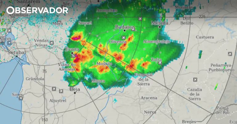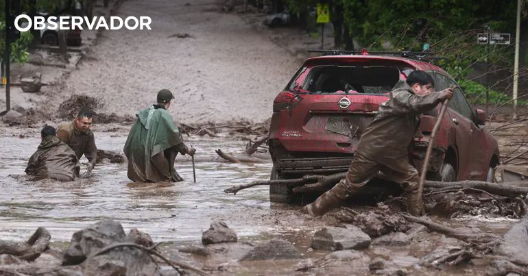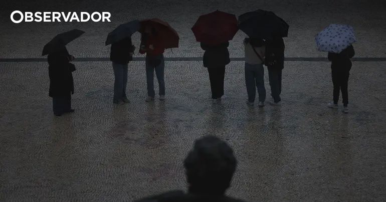
The number of deaths in the floods in Nepal and Tibet has risen to 162, with more than 550 missing just on the Tibetan side, while in Portugal 11 districts are under a yellow warning due to forecasts of thunderstorms and heavy rain. (translated)

The number of deaths in the floods in Nepal and Tibet has risen to 162, with more than 550 missing just on the Tibetan side, while in Portugal 11 districts are under a yellow warning due to forecasts of thunderstorms and heavy rain. (translated)

Bom dia Portugal! ☕️ Chuva e trovoada está a chegar ao país esta manhã, com as células mais intensas a afectarem agora a região de Lisboa. Algumas podem ser fortes, com chuva localmente intensa, relâmpagos frequentes e, possivelmente, rajadas de vento fortes e granizo pequeno. https://t.co/6KLgUOivJx #Portugal #Clima #Meteorologia
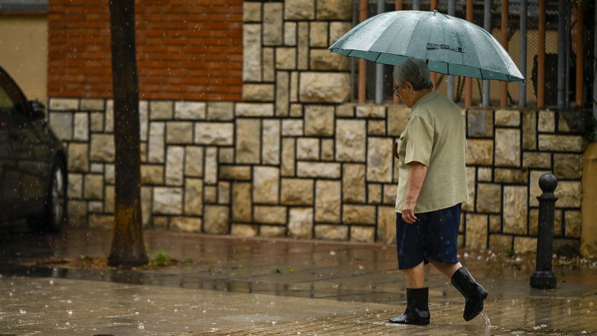
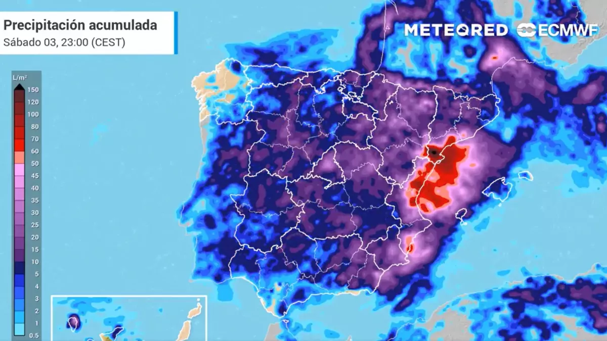
The State Meteorological Agency (Aemet) has warned about the arrival of a powerful storm that will cause intense rains, storms, hail, and a drop in temperatures in various regions of Spain starting Monday, August 24. (translated)

According to a warning from the British Meteorological Institute, an extremely strong El Niño phenomenon is occurring over the Pacific Ocean, which is expected to result in the warmest global year ever recorded by 2027. (translated)

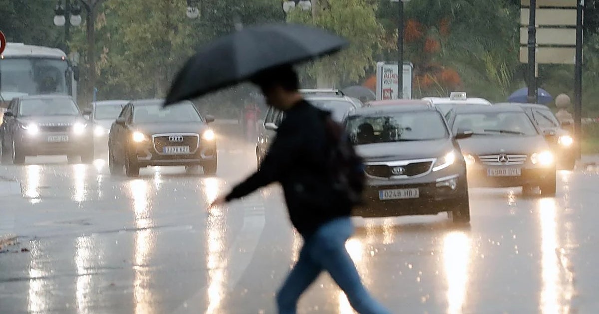
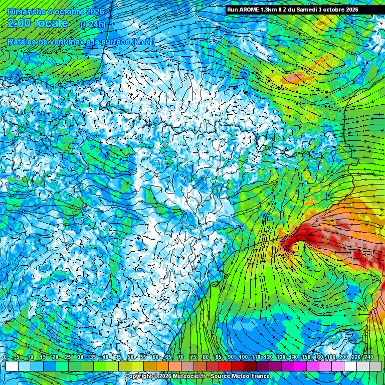
Valencia was hit by a violent storm with winds of up to 150 km/h, some of the strongest gusts ever recorded in Spain, occurring just after the region had reached record temperatures of 44ºC. (translated)

The State Meteorological Agency (Aemet) has announced a notable drop in temperatures of up to 10 ºC within 24 hours starting Thursday, accompanied by heavy storms and potential flooding, especially in the north and southeast of Spain, due to the arrival of a cold air mass and the establishment of a trough. (translated)

Proyección en seguimiento. Abundantes lluvias retornarían a Chile central. Días atrás publiqué que la zona central tendría una semana sin lluvias, una tregua pasajera, esto porque durante la próxima semana volverían las lluvias, el viento y las tormentas eléctricas. He estado siguiendo estos posibles eventos y puedo decirles que deben estar atentos, un patrón favorable para recibir una serie de eventos de lluvia podría constituirse desde el 24 de agosto en adelante. Diversos modelos ya muestran señales preocupantes, con sectores que fácilmente acumularían más de 100-150 mm en este nuevo tren de sistemas frontales. Como señalo en el título de esta publicación, esta proyección se encuentra en seguimiento y se estará actualizando los próximos días, pero es prudente estar atentos. De momento los sectores afectados abarcarían el tramo entre la region de Coquimbo y Los Lagos. #ElNiño. #Chile. #Clima #Lluvias #Meteorología
Avevamo detto attenuazione ed è quello che sta succedendo. 4 giorni fa scrivevo che dopo Ferragosto non sarebbe arrivato il fresco, non sarebbe arrivato l’autunno e non ci sarebbe stato un brusco cambio atmosferico. La previsione più corretta era un’altra, una graduale attenuazione del caldo, soprattutto al Centro-Nord, con un calo termico nell’ordine di 3-4°C, localmente anche qualcosa in più dove temporali, ventilazione e ricambio d’aria sarebbero riusciti a incidere meglio. Direi che la tendenza a 4-6 giorni è stata sostanzialmente confermata. La passata temporalesca di ieri non ha spazzato via l’estate, ma ha fatto una cosa importante, ha abbassato umidità e punti di rugiada in diverse zone, rendendo l’aria meno pesante. In molte aree il calo termico è stato proprio nell’ordine previsto, senza effetti miracolosi ma con una differenza concreta nella percezione, soprattutto dopo giorni e giorni di caldo insistente. La meteorologia seria non deve vendere svolte epocali a ogni aggiornamento. Deve leggere i segnali, pesarli, comunicarli senza gonfiarli e senza spegnerli. La prudenza non serve a dire meno cose, serve a dirle meglio. Ora l’Italia tenderà purtroppo a dividersi in due, con il Nord più vicino a una fase meno calda definitiva e più dinamica, mentre Centro-Sud e Isole resteranno ancora più esposti a un caldo resistente. Il calendario però inizia a lavorare dalla nostra parte. Settembre si avvicina, le ore di luce diminuiscono, le notti si allungano e l’estate atmosferica, come accade sempre, prima o poi dovrà cedere terreno. Un grado alla volta, una notte alla volta, un temporale alla volta. #Meteo #PrevisioniDelTempo #Clima
The Mediterranean is experiencing alarming overheating, with temperatures exceeding 30 ºC, which has led the State Meteorological Agency to issue red alerts for extreme heat in various regions of Spain, including the Valencian Community, where highs of up to 44 ºC are expected. (translated)

L’estate non è ancora finita ma l’atmosfera comincia già a cambiare stagione. Questo grafico non dice che domani arriverà il fresco in Italia e non va letto come una previsione diretta per il nostro Paese. Racconta però qualcosa di molto interessante. Nella stratosfera, a circa 30 km di quota, il vento zonale medio a 10 hPa sta progressivamente passando dalla circolazione tipica dell’estate a quella più autunnale. Il vortice polare stratosferico comincia lentamente a ricostruirsi. Durante l’estate la stratosfera polare è ancora in una fase molto diversa, con venti deboli o orientali. Poi, man mano che il Polo Nord perde radiazione solare, la stratosfera si raffredda, aumenta il contrasto termico con le medie latitudini e tornano a rinforzarsi i venti occidentali. È un passaggio normale, stagionale, ma molto significativo. Non significa che l’estate finisca di colpo, non significa che il caldo non possa tornare e non significa che settembre non possa avere fasi calde anche importanti, però il motore stagionale sta cambiando passo. Il sole scende, le giornate si accorciano, le notti si allungano, l’energia disponibile diminuisce e anche l’atmosfera, lentamente, inizia a prepararsi a un assetto diverso. La meteorologia dei prossimi giorni si farà ancora in troposfera, con anticicloni, saccature, temporali e masse d’aria ma lassù, molto più in alto, il calendario atmosferico ha già iniziato a voltare pagina. #Meteorologia #Stagioni #Clima
On Wednesday, a significant drop in temperature is expected, with reductions of about 10ºC, due to the passage of a depression to the southwest of mainland Portugal, which currently has orange alerts in 9 districts due to extreme heat. (translated)

Almost the entire Northern and Central interior of Portugal is at maximum fire risk, with over a hundred municipalities affected, while the IPMA forecasts showers, thunderstorms, and hail, in addition to a slight increase in temperatures. (translated)

The yellow warning due to the heat has been extended until the end of Sunday in Bragança and Vila Real, later spreading to most regions of the continent, except Faro, due to the persistence of high temperatures. (translated)

Temperatures above 35°C are forecasted for the west and south of Europe, affecting around 150 million people, especially in France, Germany, Spain, and Italy, while most of the continent faces a heatwave impacting 350 million inhabitants. (translated)

About 60 municipalities in the districts of Bragança, Guarda, Coimbra, Castelo Branco, Portalegre, Santarém, and Faro are at maximum risk of fire, according to the Portuguese Institute of the Sea and Atmosphere, with forecasts of high temperatures and weather conditions favorable to ignition. (translated)

The State Meteorological Agency (Aemet) has issued alerts for extreme heat in 15 autonomous communities in Spain, where temperatures are expected to exceed 40 degrees, as well as warnings for rain and storms in several regions. (translated)

This Thursday, August 13, Madrid will experience one of its hottest days of the summer, with temperatures reaching 39 and 40 degrees and an orange alert activated by the State Meteorological Agency (AEMET). (translated)

Aemet forecasts cloudy skies in the north and extremely high temperatures for this afternoon in Spain, which could hinder the observation of the total solar eclipse happening today. (translated)

Today at 4 PM, the upcoming solar eclipse and the possible impact of cloud cover on its visibility were discussed on Rádio Observador, with meteorologists warning that the sky over southern and central Portugal may be covered with clouds, which could affect the observation of this rare phenomenon. (translated)