BETA nonprofit public democratic european moderated

Search

#temperatur
NOS 6h

The record warm summer of 2026 ends unpredictably with lower temperatures and thunderstorms, starting this evening, with the possibility of local flooding and strong gusts of wind. (translated)

Regen en onweer: een wisselvallig einde van een recordwarme zomer

Il picco di calore ad 850 hPa passerà presto ma le temperature resteranno comunque sopra la media del periodo di 3-4 °C. Gli spaghi ensemble su Roma raccontano bene la fase che ci aspetta, dopo il picco caldo di queste ore i valori tenderanno sì a scendere da sabato e domenica, ma senza un vero rientro verso la normalità climatica. La massa d’aria perderà intensità rispetto alla fase più estrema, e questo è già qualcosa, ma resterà comunque su valori superiori alla media del periodo, spesso di almeno 3-4°C. Non saremo più sul punto massimo della fiammata, ma resteremo dentro un contesto ancora caldo, stabile e poco propenso a cambiamenti netti. Anche il segnale delle precipitazioni, almeno per ora, resta debole. Non si vede una vera fase piovosa organizzata, né un passaggio capace di cambiare in modo deciso il quadro atmosferico. Potranno esserci oscillazioni, qualche disturbo, qualche temporaneo ridimensionamento, ma la struttura di fondo resta ancora anticiclonica almeno fino al 3 settembre. La differenza rispetto a luglio, però, inizia ad arrivare dal calendario. Le giornate si accorciano, il sole tramonta prima, l’alba ritarda e la notte guadagna minuti preziosi. Questo non cancella una massa d’aria calda, non fa arrivare il fresco per magia e non sostituisce un vero cambio di circolazione. Però aiuta lentamente il suolo a disperdere calore per più ore, soprattutto quando vento, umidità e nuvolosità lo permettono ed ecco perché da qui in avanti il caldo potrà ancora farsi sentire, anche molto, ma avrà progressivamente meno spazio astronomico per dominare come nelle settimane centrali dell’estate. Soprattutto da sabato e domenica quando i valori ad 850 hpa scenderanno + 25 a + 20 °C. Si tratta di una piccola consolazione ma per ora, purtroppo, dobbiamo accontentarci di questo. #Meteo #Clima #Caldo

In the last phase of summer, Italy is preparing for an intense heatwave brought by the African anticyclone, with temperatures that could reach 44°C on Friday and tropical nights expected until the middle of next week, according to Giuliacci's forecasts. (translated)

Caldo, venerdì picchi fino a 44°C: nuova fiammata africana e notti tropicali. Giuliacci: «Durerà fino a metà prossima settimana»

Anyone telling you such events are "normal" or "natural" is an enemy of humanity. This would have had 0% chance of happening if global temperature is 1.5 °C lower than today. #ClimateCrisis #GlobalWarming #HumanityFirst #Nospecificcountrycodesidentifiedinthetweet.

According to the Robert Koch Institute, more than 3,000 people have already died in North Rhine-Westphalia this year due to extreme temperatures, with the number of heat-related deaths estimated at about 15,800 nationwide, particularly affecting older people. (translated)

Warnung ernst nehmen: RKI: Mehr als 3.000 Hitzetote in NRW

According to the Robert Koch Institute (RKI), approximately 15,800 people are estimated to have died in Germany from the effects of heat by mid-August 2026, with 9,600 deaths attributed to the extreme temperatures at the end of June and 4,000 to the high temperatures in the first two weeks of August, which is significant compared to the last ten years. (translated)

RKI: Rund 15.800 Hitzetote in Deutchland

According to an estimate by the Robert Koch Institute, about 15,800 people in Germany are expected to have died from the consequences of the heatwave by mid-August 2026, with 9,600 deaths attributed to the extreme temperatures at the end of June. (translated)

RKI-Schätzung: Bis Mitte August etwa 15.800 Menschen durch Hitze gestorben

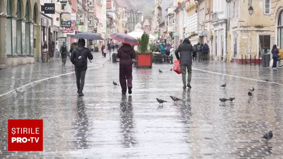
In North Rhine-Westphalia, strong thunderstorms, hail, and heavy rainfall are expected from Thursday evening to Friday evening, while temperatures are initially still summery and hot before dropping significantly on Friday. (translated)

Unwetter: Kräftige Gewitter und Hagel drohen in NRW ab Donnerstagabend

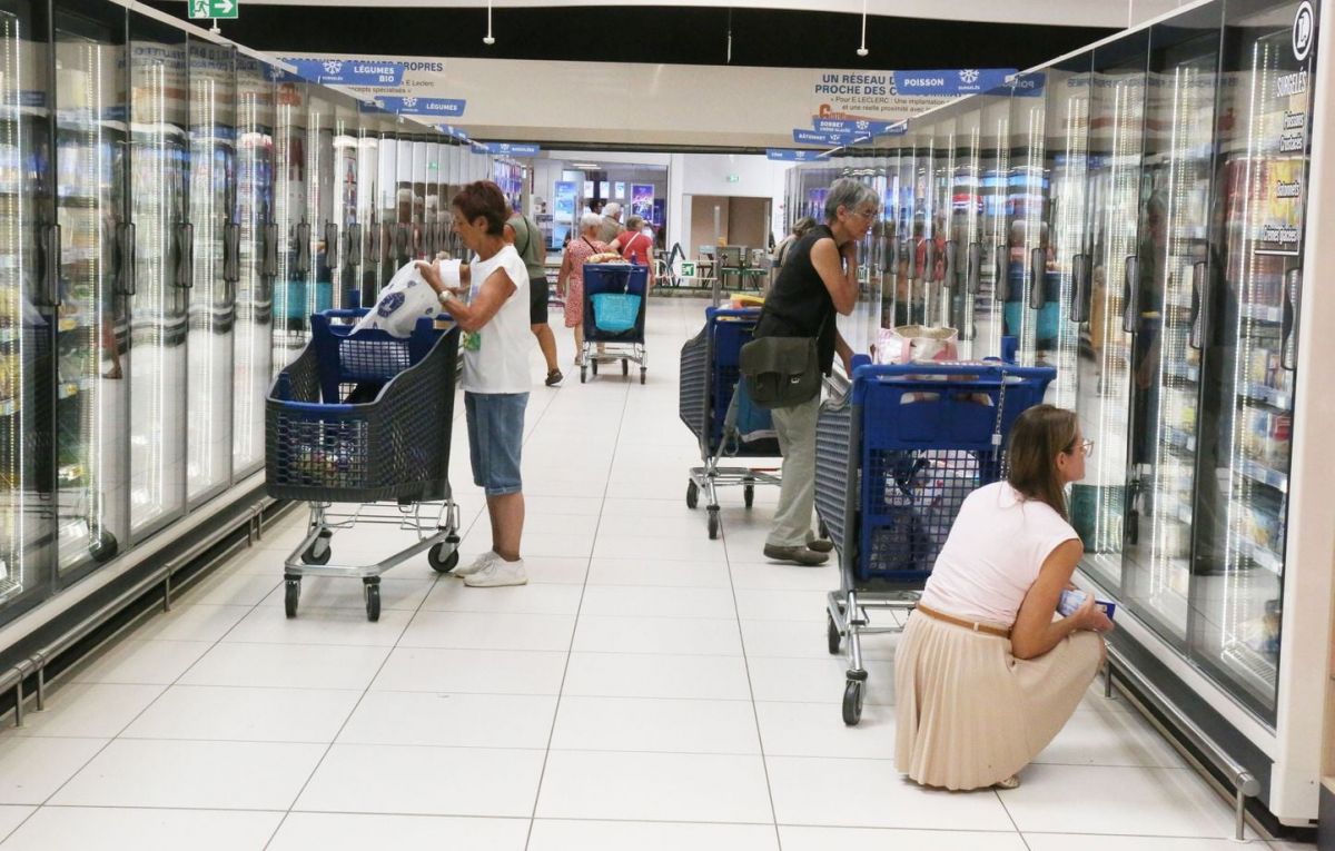
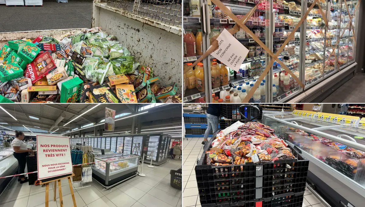
"Les laboratoires vont mettre leurs médicaments dans des enceintes avec des températures et une humidité constantes, décrit Valérie Salomon, directrice des métiers scientifiques de l'ANSM. Ils vont faire des mesures, regarder si la quantité de principe actif est toujours la même sur toute la durée, s'il n'y a pas de produit de dégradation qui apparaît, ainsi que toutes les caractéristiques physiques et chimiques de leur médicament. Ils pourront ensuite nous donner les données qui prouvent que leur médicament est valable jusqu'à quatre à cinq ans"

Des médicaments, parmi les plus vendus en France, pourront voir leur durée de vie allongée, pour lutter contre le gaspillage
www.franceinfo.fr
2
20minutes 17h

This Thursday afternoon, twenty-three French departments will be placed on orange alert due to violent storms and a risk of hail, with forecasts of intense phenomena ranging from Auvergne to Burgundy, while Corsica is under heatwave alert with temperatures possibly exceeding 40 °C. (translated)

Orages, risque de grêle… 23 départements en vigilance orange ce jeudi après-midi

Twenty-three French departments have been placed on orange alert due to forecasts of strong storms, while Corsica is under a heatwave alert with temperatures reaching up to 36°C. (translated)

Vingt-trois départements placés en vigilance orange aux orages jeudi après-midi, la Corse en alerte canicule

German cities identified as "climate twins" with Mediterranean regions face the challenge of adapting to rising temperatures and changing climatic conditions, as forecasts indicate that the climate will increasingly resemble that of Southern Europe in the coming decades. (translated)

Klima: Klimazwillinge: Deutsche Städte auf Mittelmeer-Kurs
NRC 18h

In a warmer Netherlands, different new species of flora and fauna are emerging, although not all newcomers are directly attracted by the rising temperatures, as evidenced by the complex interaction of climatic changes with other factors such as habitat restoration and nitrogen. (translated)

In een warmer Nederland leven allerlei nieuwe soorten. Maar niet elke soort komt hier voor de warmte

„Der Donnerstag wird noch einmal ein richtig heißer Spätsommertag – und zugleich der Auftakt zu einer Wetterumstellung. Tagsüber klettern die Temperaturen verbreitet auf 30 bis 33 Grad, am wärmsten wird es im Südwesten und am Oberrhein mit bis zu 34 Grad. Anfangs scheint vielerorts die Sonne, im Osten und Nordosten bleibt es den ganzen Tag trocken.“

Wann es in Deutschland kracht - Erst Hitze, dann rollen schwere Unwetter an
www.bild.de
Mindestens 162 Tote: Verheerende Sturzflut im Himalaja wohl durch Gletscherabbruch ausgelöst
Bild 18h

On Thursday, Germany will be hit by extreme temperatures exceeding 30 degrees, before heavy thunderstorms with heavy rain and hail change the weather in the afternoon and bid farewell to meteorological summer. (translated)

Wann es in Deutschland kracht - Erst Hitze, dann rollen schwere Unwetter an
L

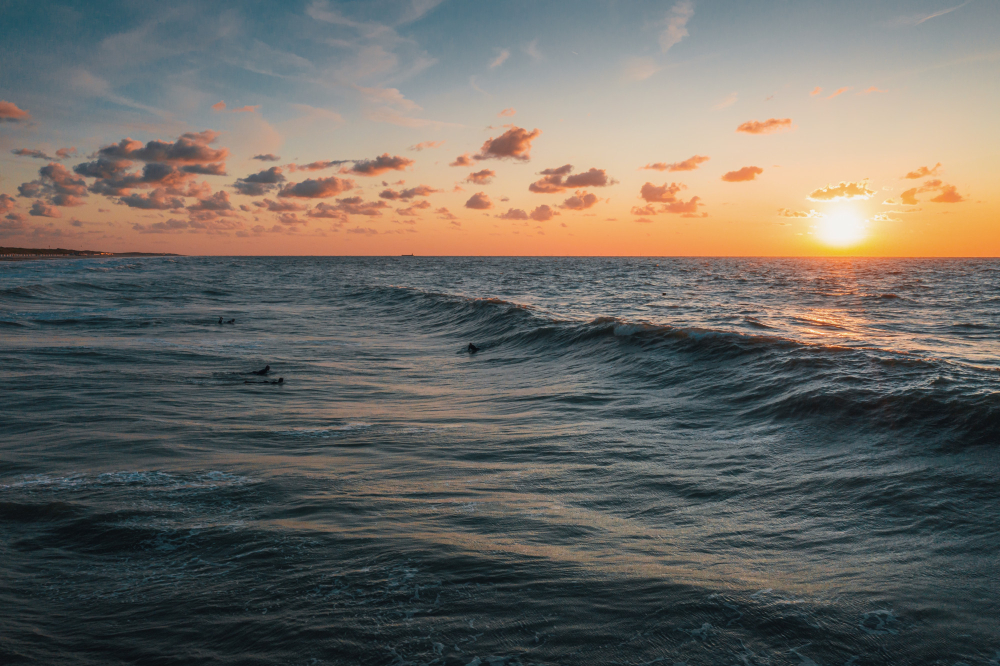
The Ligurian Sea has reached record temperatures above 30 degrees, increasing the presence of tropical species and raising concerns about extreme weather events related to this warming. (translated)

“Caldo record, tempeste e pesci tropicali”. Allarme rosso per il mar Ligure bollente
Dnevnik 24h

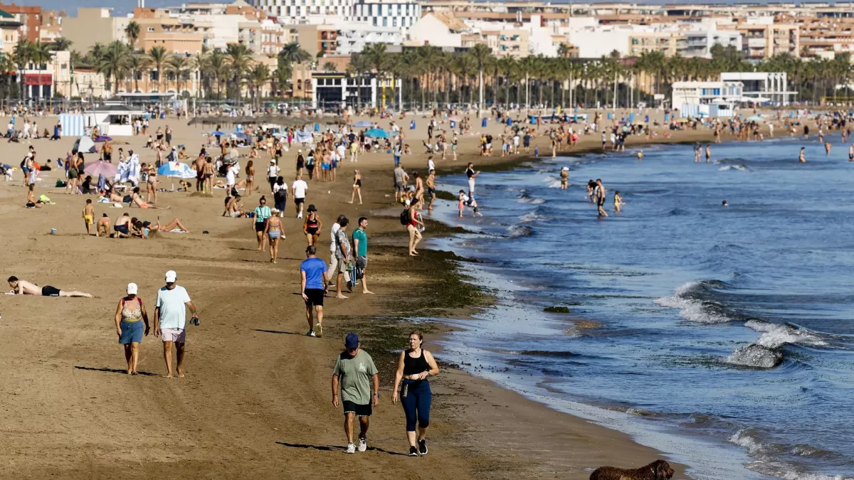
This year's heatwaves in Europe have recorded at least 35,000 excess deaths due to extremely high temperatures, with Germany, France, and Spain being the most affected countries, indicating an increasing mortality rate due to heat in connection with climate change and an aging population. (translated)

Vročinski valovi v Evropi vzeli že 35.000 življenj

Nuova pulsazione calda al Centro-Sud. Non durerà a lungo ma sarà molto anomala. Nella seconda parte della settimana il caldo tornerà ad alzare la voce soprattutto sulle regioni centro-meridionali, sulle Isole e in parte anche lungo il versante adriatico. Non siamo davanti a una nuova fase infinita come quelle viste nel cuore dell’estate, e questo va detto con chiarezza. Una parte del rialzo termico avrà anche una componente prefrontale, legata al richiamo caldo che precede l’avanzata delle correnti più instabili da ovest e nord-ovest ma il fatto che sia una fase relativamente breve non la rende automaticamente trascurabile. Tra domani e sabato una nuova pulsazione dell’anticiclone subtropicale continentale porterà aria molto calda verso il Mediterraneo centrale, con temperature nuovamente ben superiori alla media del periodo. Al suolo questo potrà tradursi in massime diffuse tra 36 e 40°C su molte aree del Centro-Sud, con punte localmente superiori nelle zone interne più esposte, specie tra Isole, Sud peninsulare e settori ionici. Si tratta di valori anche di 7-10°C sopra la norma, seppur concentrati in pochi giorni, sono comunque un segnale forte. E sono sempre più difficili da compensare con fasi fresche di pari intensità e durata. Già domani avremo punte di 42-43 °C nelle zone interne di Sardegna e Sicilia. Caldo piu' contenuto al Nord dove le massime non andranno oltre i 32-33 °C ad eccezione delle zone orientali della Pianura Padana dove si potranno toccare i 34 °C. Anche se non di lunga durata si tratterà di una fase rilevante e climatologicamente significativa. #Meteo #Caldo #SudItalia

L
Le Soir 1d

According to an alarming report, human-caused climate change exposes 560 million children aged 0 to 9, or 43% of this global age group, to increased heat stress, and this figure could rise to nearly 650 million, or 59%, with rising temperatures. (translated)

Les enfants en première ligne

Als staatlich geprüfter und anerkannter Klimaleugner melde ich mich zur Äußerung des Bundeskanzlers Friedrich Merz zum Waldbrand in Hürtgenwald. Er sagte: "Das ist der Klimawandel. Ich will allen Leugnern des Klimawandels sagen: Schauen Sie sich das genau an, was hier passiert ist“,https://t.co/MVJsFAAYPA Das ist eine unredliche Aussage. In den 60er bis 90er Jahren hatten wir in Deutschland durchschnittlich eine jährliche Waldbrandfläche von 3300 ha. Von 1990-2020 800 ha, also minus 75 %. 2025 und 2026 waren tatsächlich starke Waldbrandjahre. Aber den Klimawandel für diese beiden Jahre als Ursache heranzuziehen, wird von keiner Statistik belegt. Denn beim Klimawandel handelt es sich um globales Phänomen. Die Waldbrandfläche nahm weltweit um 25 % seit 2000 ab. Und 2025 und 2026 sind weltweit die Waldbrände weiter zurückgegangen - um minus 40% gegenüber dem Durchschnitt der letzten 15 Jahre.(Copernikus:Globale Biomasseverbrennung in 2026 auf dem niedrigsten Level seit 2003, 6.7.2026 in atmosphere monitoring service) Es ist wie bei der Zuckersteuer. Man will die Haushaltslücken schließen, in dem CO2-Steuern in Höhe von 18 Milliarden € jährlich den Bürgern beim Tanken, bei der Heizung und an ihrem industriellen Arbeitsplatz abgezwackt werden. Und die Aussage: "wir werden den Klimawandel zurückdrängen", ist lächerlich. Wenn Deutschland kein CO2 mehr ausstößt, geht nach den IPCC-Modellen die globale Temperatur um 0,015 Grad zurück. Anschleimen beim rot-grünen Milieu von Spiegel bis TAZ wird sich politisch nicht auszahlen. Eher stärkt das Grüne und SPD und Linke. Aber vielleicht ist das der Grund für die grüne Erweckung von Friedrich Merz. 0b diese Propaganda der SPD und den Grünen in Sachsen- Anhalt über die 5 % Hürde hilft ? #Klimawandel #Waldbrände #Klimapolitik