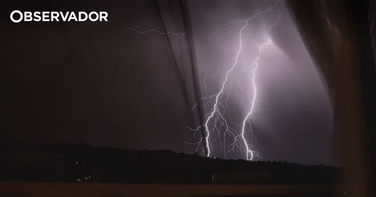
Marco M.M. wrote that high-resolution weather model analyses indicated a phase of bad weather for the following day over part of Italy, with locally intense precipitation possible. According to the author, an Atlantic disturbance coming from the western Mediterranean would have triggered humid southern currents, whose interaction with the mountain ranges and the convergence of winds at the surface would have favored the stronger phenomena. Liguria would have been the region to monitor with greater attention: downpours and thunderstorms could have begun as early as the night, especially between the western and central sectors, before extending to the east. Marco M.M. specifically noted the Savonese, the Genovese, and later the Spezzino, where accumulations in a few hours could have caused hydrogeological issues. The author also forecasted widespread precipitation in Piedmont, particularly in the western and northern areas, in Aosta Valley, and in Lombardy, especially to the west and in the Alps. In Emilia-Romagna, the worsening weather would have mainly affected the western sectors and the Apennines; in the Northeast, the phenomena would generally have been less intense, although rain was expected in the alpine and prealpine elevations. Tuscany would also have required attention, with possible strong thunderstorms from the afternoon and especially between evening and night along the coast, in Lunigiana, Versilia, Garfagnana, and in the Apennine mountains. The location of the most intense cells remained uncertain, he clarified. The worsening weather would then extend to Umbria and Lazio, especially to the west and north. In Marche and Abruzzo, less widespread precipitation was expected. In Sardinia, scattered and locally intense downpours and thunderstorms were possible, especially in the west and north; part of the more organized activity could have remained over the surrounding seas. In the South, according to Marco M.M., dry intervals and clearings would have prevailed, without excluding localized instability between the Ionian Calabria and eastern Sicily. The author also predicted a strengthening of southern and southwestern winds, with strong gusts over the Tyrrhenian Sea, around Sardinia, and along the exposed coasts. He urged caution without alarmism and noted a new disturbed impulse between Wednesday the 21st and Thursday the 22nd, accompanied by a moderate temperature drop of 3-5 °C over most of the Peninsula. #Maltempo #PrevisioniMeteorologiche #Autunno (translated)