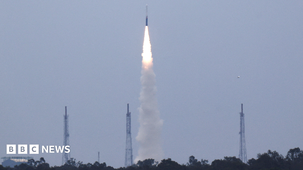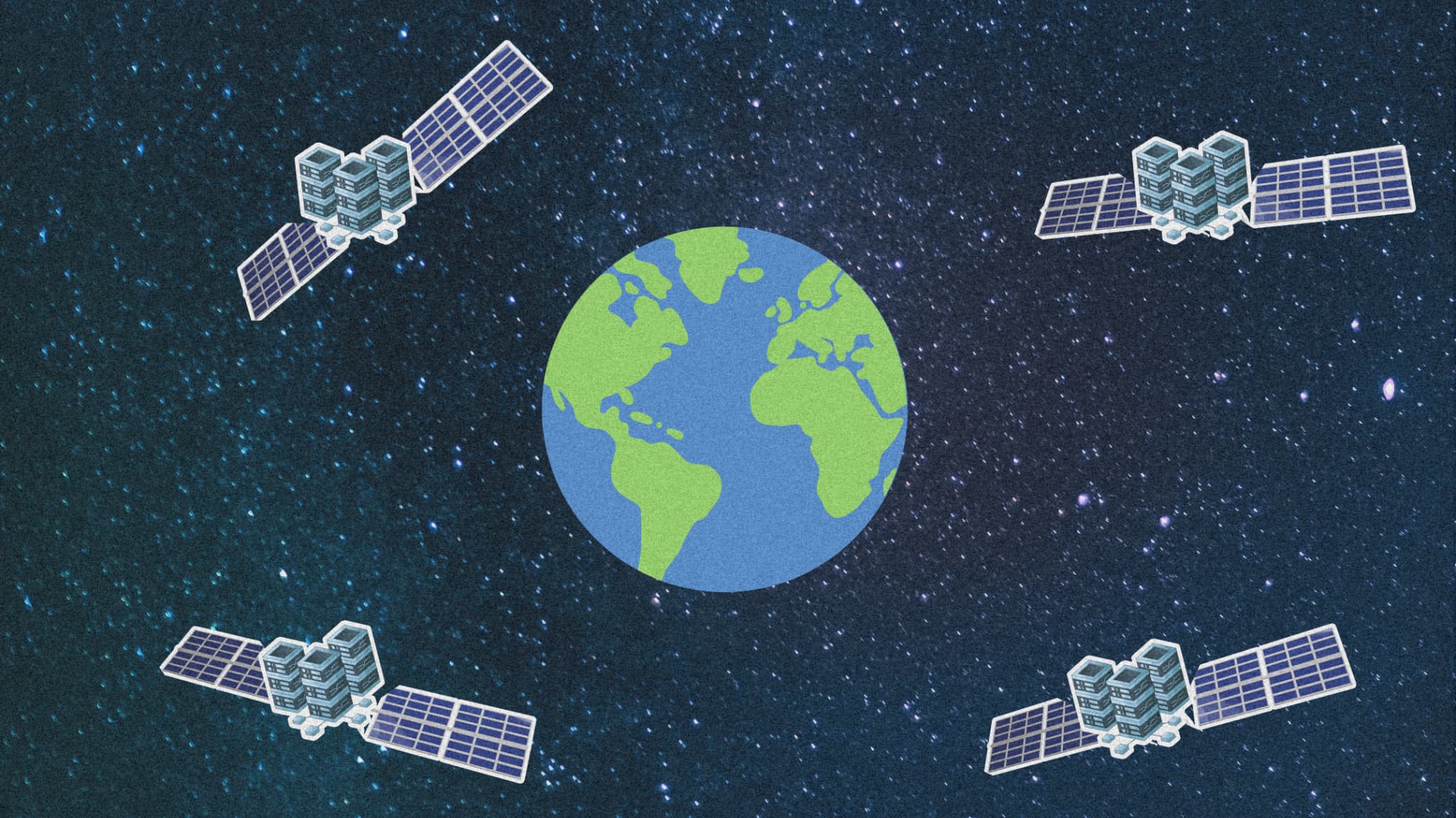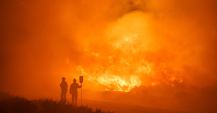
FireSat, une constellation de satellites soutenue par Google, promet de détecter les incendies de forêt en quelques minutes grâce à une technologie d'imagerie avancée et à l'intelligence artificielle, offrant ainsi une nouvelle approche pour anticiper et gérer ces catastrophes avant qu'elles ne deviennent incontrôlables. #FireSat #incendies #intelligenceartificielle
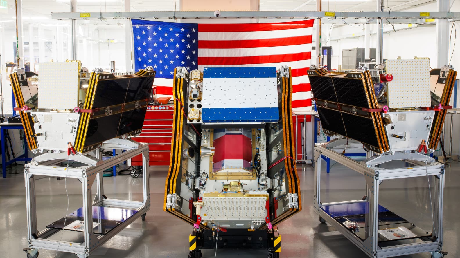
FireSat, constellation de satellites dopée à l'IA et soutenue par Google, promet de repérer les incendies avant qu'ils ne deviennent incontrôlables, peut-elle changer la donne?